Are you trying to find a geocoding API? You should read this article to discover the benefits of an API.
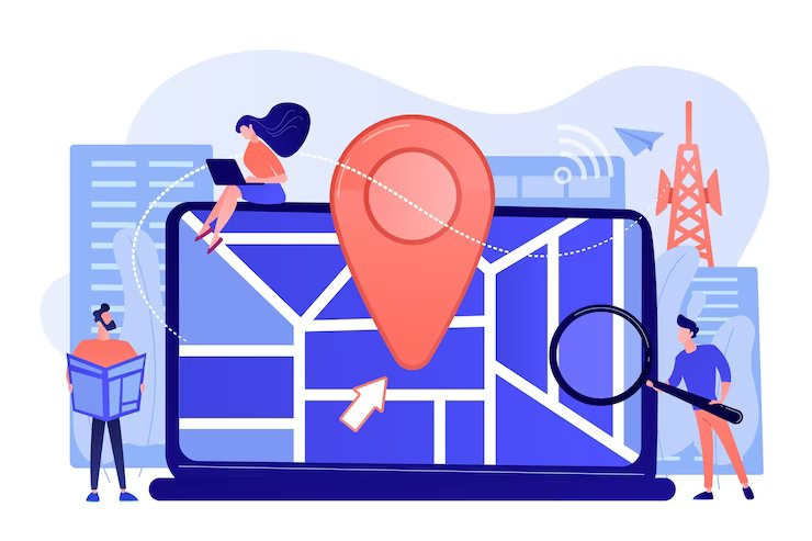
Let’s start by explaining what geocoding is. This is the process of converting an address into geographic coordinates. This information can be used to locate places on a map or in navigation apps. It can also be used to get driving directions, find nearby businesses, and more.
Address To Coordinates API are essential for many businesses because they can provide valuable insights about their customers and improve their marketing strategies. For example, if you want to target people who live in a specific area, you can use an API to obtain that information. Then, you can create ads that are tailored specifically to them and reach out to them directly.

A geocoding technique called forward geocoding offers geocoding that is prospective. Based on the user’s current position and intended course of travel, forward geocoding is utilized to forecast a location.
You can use forward geocoding to forecast future destinations or to spot trends in travel behavior. Additionally, it has a wide range of uses, such as transportation, disaster preparedness, and logistics. We’ll talk about forward geocoding in this article and how it can benefit your company.
Forward Geocoding API
The Forward Geocoding API allows developers to search for addresses and their associated locations using a free-form address string. Users can use this API to input several address formats, including incomplete or partial addresses, and receive standard addresses, unique addresses, latitude and longitude coordinates, and other useful information in return.
Users of various expertise levels can utilize the API because of its simple design and user-friendly UI. Just type the address text you’re interested in, and the API will return the relevant location information, along with the latitude and longitude coordinates and other useful information like the postal code, city, state, and country.
A geocoding API from Geoapify finds addresses all across the world. The HTTP GET API is how the API operates. As a result, it is cross-platform and compatible with the majority of programming languages. This API will respond to you with a response similar to the one below:
{
"type": "FeatureCollection",
"features": [
{
"type": "Feature",
"properties": {
"datasource": {
"sourcename": "openstreetmap",
"attribution": "© OpenStreetMap contributors",
"license": "Open Database License",
"url": "https://www.openstreetmap.org/copyright"
},
"name": "Schwimmschulstraße",
"country": "Germany",
"country_code": "de",
"state": "Bavaria",
"city": "Augsburg",
"postcode": "86153",
"district": "Stadtjägerviertel",
"suburb": "Innenstadt",
"street": "Schwimmschulstraße",
"lon": 10.880888,
"lat": 48.3736943,
"formatted": "Schwimmschulstraße, 86153 Augsburg, Germany",
"address_line1": "Schwimmschulstraße",
"address_line2": "86153 Augsburg, Germany",",
(...)
As you can see, there’s a lot of data about the location that we put, we had to remove a lot of the information because it was simply too long.
The Only Thing You Need To Do To Begin Using This API Is:
- Go to the website and select “START FREE TRIAL” to begin using the Forward Geocoding API.
- Once you’ve registered in the Zyla API Hub, you’ll be ready to access the API.
- Depending on what you’re looking for, use one of the many API endpoints.
- Use the “test endpoint” button to launch an API call after finding the necessary endpoint and see the responses on your screen.
Overall, the Geocoding Service API is a useful tool for anyone who needs to quickly and precisely identify the location associated with an address string. Thanks to its accuracy, speed, and adaptability, the API offers a versatile solution for businesses, individuals, and organizations across a range of industries and use cases, including logistics, transportation, real estate, and more.


